
Karachi Weather, 12–14 November 2026: PMD Drizzle Outlook Explained
Read PMD’s dated Karachi forecast for 12–14 November, isolated drizzle wording, temperature ranges and the distinction between mist, smog and observations.
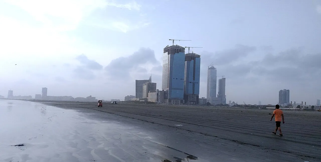
Karachi weather: PMD's dated 12–14 November outlook
The Pakistan Meteorological Department's Sindh bulletin dated 12 November 2026 describes dry weather for Karachi on Thursday, a chance of isolated drizzle or light rain with partly cloudy conditions on Friday, and dry weather with a misty morning on Saturday. Its listed maximum temperature range is 32–34°C across the three days.
This article explains that specific forecast period. It is not a permanent “today's weather” page and does not claim the forecast rain was subsequently observed. For current travel or outdoor plans, check PMD's latest bulletin rather than relying on an archived date.
The difference between a possibility and an observation is particularly important here. “Isolated” does not mean every neighbourhood receives rain, and a chance of drizzle does not establish a city-wide heavy-rain warning.
The three-day forecast in one table
| Date | Weather described by PMD | Listed maximum |
|---|---|---|
| Thursday, 12 November | Dry | 32–34°C |
| Friday, 13 November | Partly cloudy; chance of isolated drizzle or light rain | 32–34°C |
| Saturday, 14 November | Dry with a misty morning | 32–34°C |
For Friday and Saturday, the bulletin gives a minimum range of 22–24°C. The Thursday minimum field in the reviewed page contains a duplicated 22.3 entry, so this guide does not turn that unusual formatting into a broader range that the source did not supply.
The bulletin also identifies a westerly-wave context and a west or southwesterly wind direction for the relevant period. It does not provide grounds here for inventing a wind speed, a rainfall amount or an emergency closure notice.
Forecast date and forecast period are different fields
The bulletin date tells you when the forecast was issued. The period tells you which days its descriptions concern. A page opened later may still display a valid historical bulletin, but that does not make its predictions current for the day you are reading.
Keep both fields when sharing a screenshot. A cropped table without the heading can circulate after its period and appear to predict a new event. Adding the date takes little effort and greatly improves the usefulness of the information.
For this article, the relevant period is 12–14 November 2026. A later bulletin may revise the outlook. That would be an update to the forecast, not necessarily evidence that the original page was fabricated or that someone should continue using the old text indefinitely.
What isolated drizzle means for a reader
An isolated-rain description indicates limited spatial coverage rather than a promise of rain everywhere. A person in one part of Karachi may notice drizzle while another location remains dry. That possibility should not be simplified into “Karachi will receive heavy rain.”
The wording also does not provide an exact street, start minute or duration. A general division-level outlook cannot safely be rewritten as a neighbourhood timetable. More local information would need its own appropriate source.
For practical planning, the useful response is proportionate preparation and a check of the latest update. Carrying suitable protection for a possible light shower is different from announcing a major disruption that no official source has established.
Drizzle, light rain and a heavy-rain claim
Weather descriptions communicate different kinds or intensities of precipitation. The bulletin's reference to drizzle or light rain should be retained rather than replaced with the most dramatic available word.
A headline can change meaning even when it contains the same city and date as the source. “Chance of isolated light rain” and “confirmed downpour across the city” describe different certainty, coverage and intensity. The second statement does not follow from the first.
This guide does not assign a rainfall total because the reviewed Karachi table does not establish one. A number in millimetres requires an identified forecast or measurement. It should not be guessed from an archive cloud photograph or copied from another district's outlook.
A temperature range is not the temperature at every moment
The listed maximum range describes an expected daily high range, not a claim that the temperature remains between 32 and 34 degrees throughout the entire day. The minimum concerns another part of the daily cycle. A person reading the table at night should not mistake the maximum for a live observation.
Likewise, a range is not an exact promise for every location. Forecast tables summarise conditions at an appropriate scale and carry uncertainty. The actual value at a particular observation point needs a timestamped measurement.
When comparing two sources, check whether both are showing a daily maximum, a current temperature or a perceived-temperature measure. Different labels can explain a numerical difference without requiring either page to be treated as automatically wrong.
Humidity is not the probability of rain
The PMD table gives morning and evening humidity ranges. For the Friday outlook, it lists morning humidity of 75–85% and evening humidity of 45–55%. Those are humidity values, not a statement that there is an 85% chance of rain.
This distinction is easy to lose when several percentages appear in a weather interface. Read the parameter name and the time period before interpreting a value. A number becomes meaningful through the quantity it measures.
This article also does not calculate a heat index from a few table entries. A derived comfort measure needs appropriate inputs from the same relevant conditions and a suitable method. Combining a daily maximum with an unrelated humidity value can produce a misleading result.
Wind direction is not wind speed
A west or southwesterly direction identifies where the wind is coming from. It does not independently tell you how fast it is moving. A forecast can provide one without supplying enough information to infer the other.
Do not add a speed in kilometres per hour merely because another weather page uses that unit. If the speed matters to a planned activity, find a current source that explicitly provides it for the relevant place and period.
The same caution applies to a gust. An average wind and a gust are different measurements. A clear report retains the original label rather than moving the most dramatic available number into every wind description.
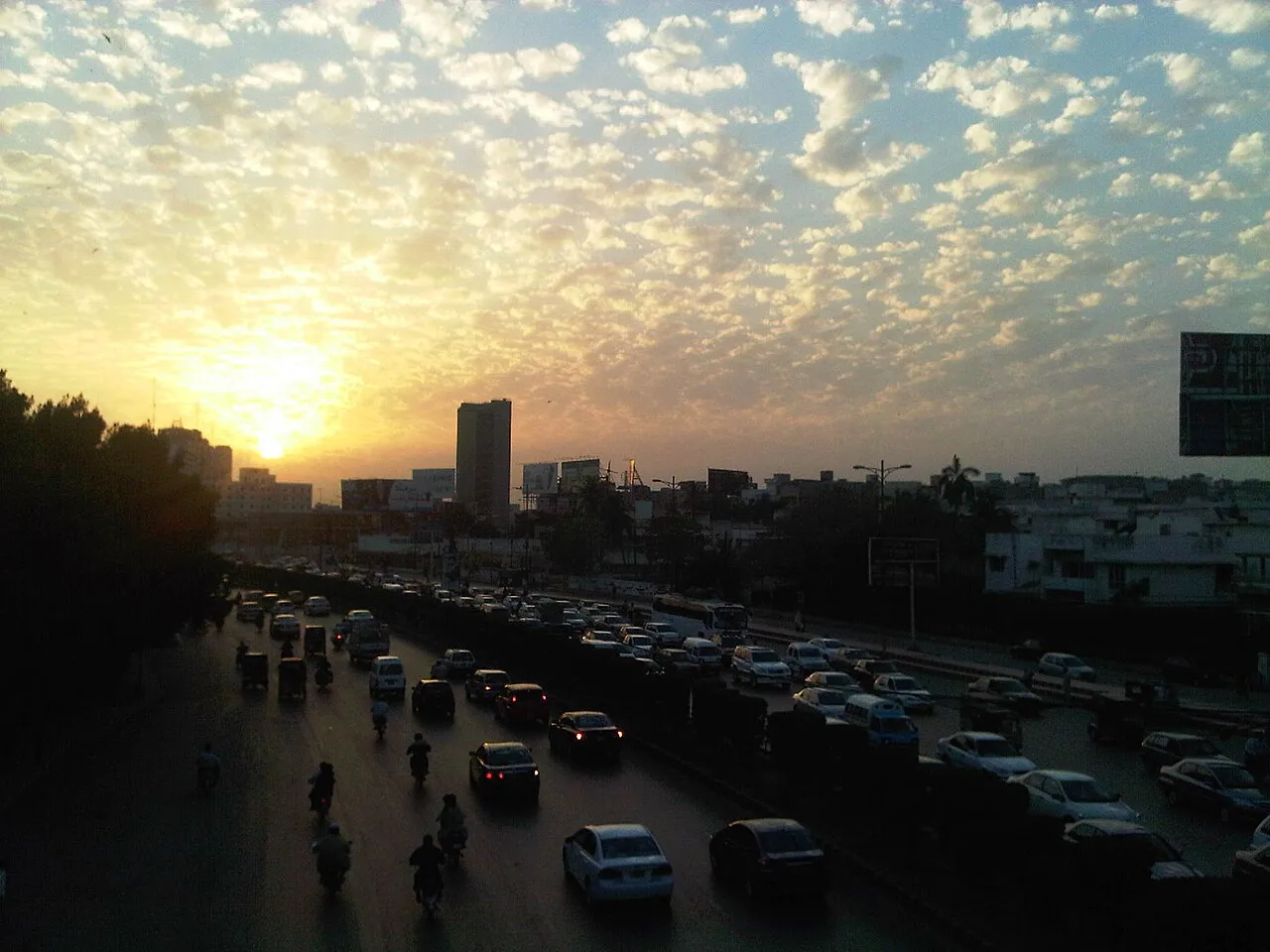
Archive cloud photograph. It is not evidence that the forecast drizzle occurred.
The westerly-wave context
PMD's outlook refers to a westerly wave affecting western and upper parts of the country, with possible isolated precipitation in specified parts of Sindh and Karachi division. That provides a regional explanation, not a claim that every named district will experience identical conditions.
A regional system and a local observation operate at different scales. One can explain why conditions may change without establishing precisely what will happen outside a particular building. A useful guide keeps both scales visible.
This article does not turn the term into an unverified cyclone, thunderstorm or severe-weather warning. Specific warnings require an appropriate official notice. Similar-looking clouds in a photograph are not a substitute for that evidence.
Mist and smog should not be treated as synonyms
The Saturday description mentions a misty morning. Mist is a meteorological visibility description; air pollution and smog require their own relevant information. A forecast mentioning mist does not establish a particular air-quality index.
If a reader wants pollution information, use a suitable current air-quality source and check its location and time. Do not infer an AQI value from a temperature table or label every hazy image as proof of the same phenomenon.
This distinction matters when comparing Karachi with news from another city. A Lahore pollution report does not establish Karachi's conditions, just as a Karachi drizzle outlook does not describe the weather in every part of Sindh. Keep the city and parameter attached to each claim.
A sensible plan for a short journey
Before leaving, check whether the bulletin has been updated and whether a relevant official warning exists. Consider the actual activity: a short walk, a longer outdoor event and a time-sensitive journey may require different preparation.
For the possibility of a light shower, modest preparation can be appropriate without assuming major disruption. Keep essential items protected and leave reasonable flexibility where practical. This is ordinary planning guidance, not a prediction that a particular road will flood or a service will stop.
Do not circulate an unverified school-closure or transport-cancellation message simply because rain is mentioned. Those decisions need their own identified announcements. A weather possibility and an institutional closure are separate pieces of information.
Why one neighbourhood can look different
A city-scale forecast summarises a larger area than one person's immediate surroundings. Local observations can differ in timing and coverage, especially when precipitation is described as isolated. A dry street does not necessarily prove that no other part of the division received a shower.
Conversely, one video of rain does not establish that the entire city experienced the same event. Confirm its location and date before using it to describe broader conditions. A clip from another year can be genuine footage while carrying a false current caption.
When reporting what you observed, use modest language: your location, approximate time and what you actually saw. Do not add a city-wide conclusion unless the evidence supports it. That makes public sharing more useful and less prone to exaggeration.
Build a weather journal
Create columns for bulletin date, valid day, forecast description, observation time, location and what was observed. Keep the forecast text separate from your later notes. That allows a learner to compare prediction and observation without changing the original record after the event.
If an observation comes from another source, identify it. If it is your own casual description, label it accordingly rather than presenting it as an official measurement. “Cloudy outside my home” and a station's cloud observation are not identical records.
For a class exercise, compare several days and ask whether the period and location match. The aim is not to declare success or failure from one photograph. It is to understand how forecasts describe uncertain conditions over a defined area and time.
Reading weather images honestly
An archive photograph of Clifton Beach can identify the city, but it does not measure the weather on a new forecast date. A cloud photograph can illustrate the subject without demonstrating that the predicted drizzle actually occurred.
Captions should say when an image is illustrative. The same applies to a dramatic flood or storm picture: using it beside a light-rain outlook can create an impression that the text does not support.
This article uses location and weather imagery for context, not as evidence of the bulletin's eventual outcome. The distinction protects readers from mistaking a visual mood for a confirmed meteorological event.
Questions about the Karachi outlook
Does PMD predict heavy rain across Karachi?
The reviewed bulletin describes a chance of isolated drizzle or light rain for Friday, 13 November. That is not the same as a confirmed city-wide downpour. Preserve the source's wording about certainty, coverage and intensity rather than upgrading it in a headline.
Are 32–34°C live temperatures?
They are the listed maximum ranges in the dated three-day table. A live observation needs its own location and timestamp. A daily high range should not be presented as the temperature at every hour.
Does the humidity percentage mean a rain probability?
No. It measures a different parameter. Read the table heading before interpreting the number. This guide does not derive a rain probability or comfort index from the humidity figures.
Does the mist forecast establish poor air quality?
Not by itself. Mist and air-pollution measurements are different information. Check a suitable current air-quality source for that question instead of inferring an AQI value from the weather outlook.
Keep the forecast period visible
The useful record here is PMD's 12 November bulletin for 12–14 November 2026. Once that period passes, the article remains an explanation of a dated outlook rather than a current forecast for every subsequent day.
For more source-based public-information guides, visit the RayTech article collection. Use PMD's current bulletin for immediate decisions, and keep the date, place and parameter together whenever sharing weather information.
Keep a simple forecast diary
If you want to compare the outlook with your own experience, record the observation time and neighbourhood. Write down what you actually noticed without inventing a temperature or rainfall measurement. A cloudy afternoon in one locality does not establish conditions across Karachi. Comparing a dated observation with a dated forecast is a useful learning exercise, provided the difference between personal impressions and instrument readings remains clear.
Sources
Image credits: cover: Nomi887, source, CC BY-SA 4.0. Resized and converted to WebP. inline: کراچی برنامج No Real Name Given AKA دانلود سكس, source, CC BY-SA 2.0. Resized and converted to WebP.
Found an error or an outdated detail? Report a correction with the article URL and original source.